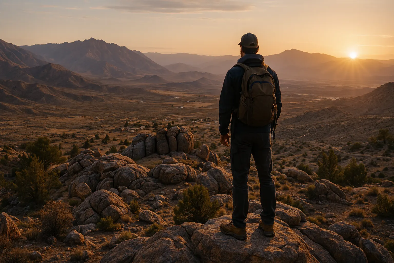
Site 001
Finding Settlement Zero
No location has been selected. That is intentional. Site 001 will be chosen with a repeatable process rather than attachment to a particular parcel.
Nothing on this page describes a selected site, an owned parcel or a confirmed region.
The approach
Not the cheapest acreage. The right place for the whole model.
The goal is a jurisdiction and parcel where the complete model can be permitted, supplied with secure water, built at reasonable cost, occupied legally and replicated.
1. Country
Can a cooperative own land and run the model here?
2. Region
Are climate, water law, building rules and land prices promising?
3. Jurisdiction
Can clustered homes, shared facilities and agriculture be approved?
4. Parcel
Does this land have water, access, buildable ground and clean title?
Hard gates
One red gate stops a purchase
"Unknown" is not the same as "pass". A parcel that fails any gate is rejected, whatever its price or beauty.
| Gate | To pass |
|---|---|
| Legal ownership | The entity can control the land and the intended occupancy structure is possible. |
| Legal access | Recorded, practical, year-round access plus an emergency route. |
| Potable water | A defensible source and quantity for a phased population, with feasible treatment. |
| Wastewater | A permittable treatment and disposal concept at the planned population. |
| Residential density | A credible path for clustered small homes and occupancy rights. |
| Common uses | A viable path for the community building, workshops, food systems and agriculture. |
| Hazards | Buildable high ground outside unacceptable flood, wildfire or geotechnical risk. |
| Title | Clean title, with easements and mineral and water rights understood. |
| Economics | Land plus mandatory infrastructure stays within the capital envelope. |
| Community viability | Reasonable access to emergency care, supplies, workforce and transport. |
The scorecard
A 100-point index, weighted toward water
Sites that pass every gate are scored from 0 to 5 in ten categories, weighted and normalised to 100.
| Category | Weight | What is measured |
|---|---|---|
| Water security | 20 | Source, aquifer resilience, quality, legal rights, redundancy and cost |
| Regulatory feasibility | 15 | Density, clustered housing, common facilities, agriculture and alternative construction |
| Land affordability | 15 | Purchase and transaction costs against usable acreage |
| Rainfall and catchment | 10 | Precipitation, catchment, storage potential and lawful harvesting |
| Climate and hazards | 10 | Heat, cold, wildfire, flood, wind and drought |
| Alternative building | 10 | Small structures, engineered domes and owner-builder pathways |
| Agriculture and soils | 5 | Soil, growing season and greenhouse viability |
| Renewable energy | 5 | Solar resource, microgrid and grid options |
| Access and services | 5 | Roads, freight, medical care, trades and communications |
| Stability | 5 | Property rights, predictable administration and institutional stability |
Water first
Slow it. Spread it. Sink it. Store it.
Hydrology is mapped before any road, building or ring is drawn.
- Map ridgelines, catchments, washes, floodways and safe high ground first
- Estimate rainfall by month, including drought years and extreme storms
- Inventory wells, yields, water quality and legal pumping limits
- Calculate demand for 20, 50 and 100 residents plus agriculture
- Keep potable, domestic, agricultural and landscape water budgets separate
- Always keep safe overflow routes: the settlement must never become the dam
Current research
Where the research has looked so far
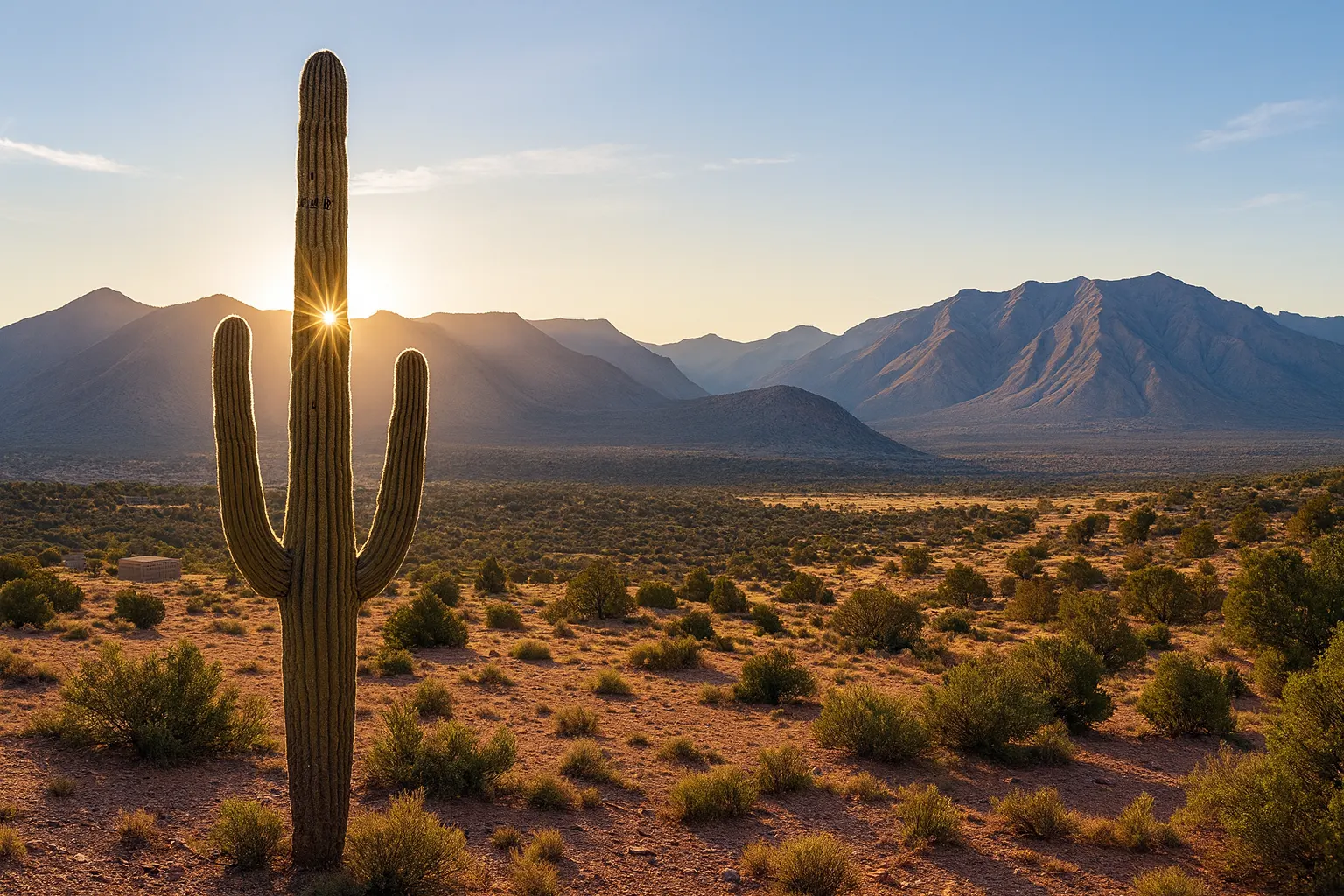
Research to date has focused on southeastern Arizona (the Cochise County area) and southwestern New Mexico: large rural parcels, strong solar resource and high-desert land. Other U.S. and international regions stay on a research list, not a ranking.
From screen to decision
How a parcel would be tested
Screen
Desktop gates and score
Hard gates and the Site Index, before anyone visits.
Check
Planning pre-check
A written or phone check with the local planning authority.
Visit
Site visit
Water, access, hazards and topography observed on the ground.
Control
Conditional control
An option or due-diligence period rather than an unconditional purchase.
Diligence
Professional diligence
Survey, title, water, wastewater, geotechnical, environmental and planning.
Decide
Documented go or no-go
Measured against the gates and score, with real infrastructure costs in the model.
Kill criteria
Willing to walk away from a beautiful property
- No defensible potable-water solution
- No credible legal path to the intended population
- Wastewater that is impossible or disproportionately expensive
- Floodway or geotechnical conditions that consume the usable site
- Infrastructure that pushes costs well beyond the affordability thesis
- An approval path that depends on ignoring enforcement
- Approval that requires removing work-to-own access or shared infrastructure
Follow the search
Hear when Site 001 research advances
Founding Circle members receive research updates first, and people who know land, water or planning can help directly.